

Climate Resilience
Urban Planning
Engagement
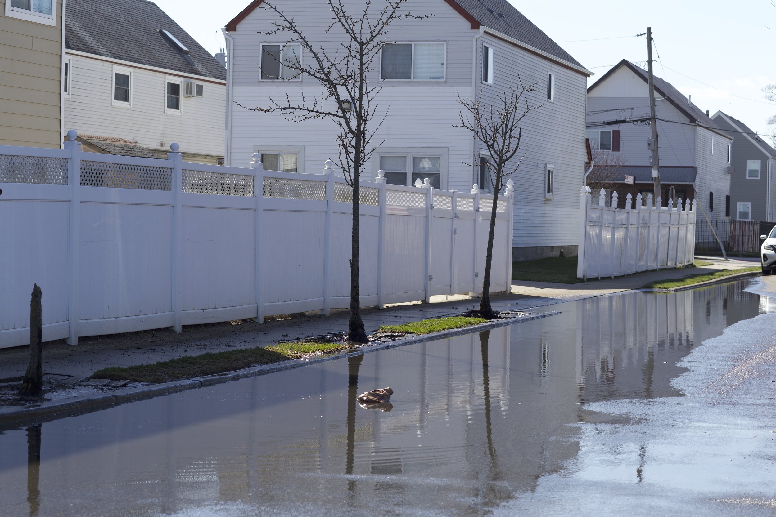
Rockaways Coastal Resilience
In collaboration with the New York City Department of City Planning, this capstone explores how the City can employ nature-based solutions to strengthen the resilience of frontline waterfront communities to coastal storms, ensuring both site suitability and community acceptance.

Context
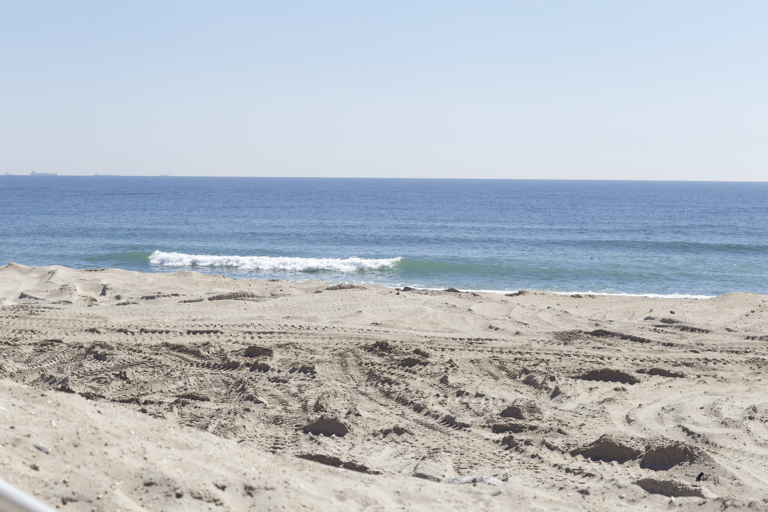
🌊 Due to its coastal geography, New York City’s waterfront communities, situated at the confluence of climate change and urbanization, face elevated vulnerability, particularly to coastal storms
🌊 Nature-based solutions offer a unique means to limit these disruptive dilemmas by providing natural buffers against storm surges, while also providing additional ecosystem benefits
Challenge
☀️ Communities on the Peninsula want to be key decision-makers and to be part of the conversations that will lead to the formulation of resilience plans and proposals
☀️ Residents want holistic and interconnected solutions implemented that take on a layered approach

Components
🖥️ Technical review of nature-based solutions that can strengthen resilience to coastal storms
🖥️ Semi-structured interviews with community organizations and academic climate experts
🖥️ Visual communication assets design that communicate the potential of nature-based solutions to the community
🖥️ Visual preference survey with the local community to learn about community preferences
Considerations
🐝 How do we cogenerate action plans and pathways with communities in the Rockaway Peninsula?
🐝 How can we combine technical reviews and community engagement to guide decision-making?
outcome
Using a mixed-methods approach, this toolkit aims to ensure both site suitability and community acceptance in the implementation of nature-based solutions to strengthen the resilience of the Rockaway Peninsula to coastal storms.
-
![]()
Beach and dune nourishment
Beach and dune nourishment increases the volume of an existing beach or dune by adding compatible sediment from an offsite source or coastal dredging project to act as a physical buffer between the sea and inland areas.
-
![]()
Waterfront Parks
Open spaces designed with resilient features like floodable areas can quickly recover from storm events and help protect upland areas from coastal flooding. These can be designed to limit development close to coastlines or to stabilize the shoreline.
-
![]()
Multi-Purpose Levees
Levees are earthen embankments placed on the shoreline to provide protection from flooding. Multipurpose levees combine the typical levees with additional functions like pathways and parks, to limit development close to shorelines and to stabilize them.
-
![]()
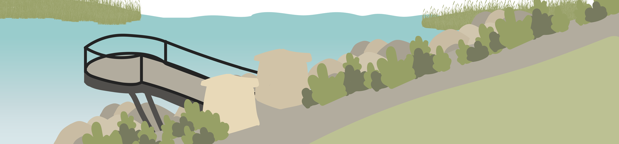
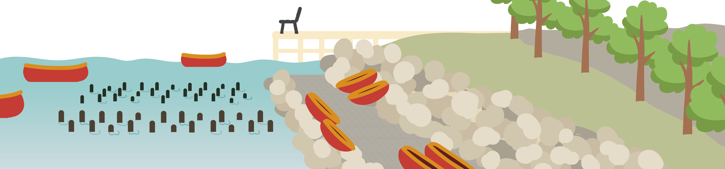
Rip Rap Revetment
Revetments are a foundation of sustaining walls, also referred to as rock armor, placed along a sloped surface to protect the underlying soil from erosion by the sea, rivers, or streams. These can be used to limit erosion and limit water velocity.
-
![]()
Coastal Wetlands or Tidal Flats
Coastal wetlands are areas where land meets sea, while tidal flats are areas where sediments from river runoff, or inflow from tides, deposit mud or sand. The two provide coastal protection by raising bed levels and offering greater frictional resistance.
-
![]()
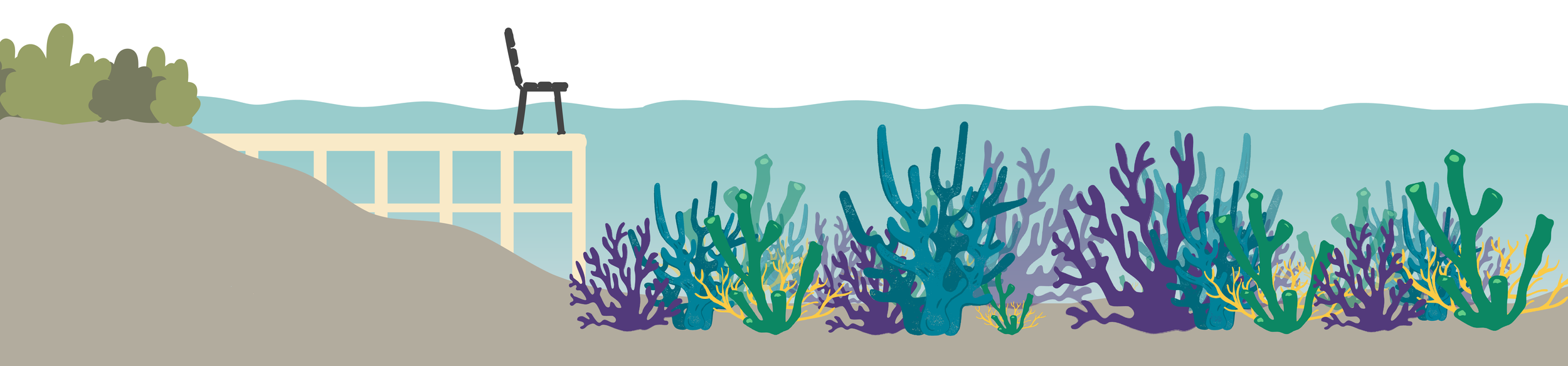
Oyster or Coral reefs
Oyster reefs are large communities of oysters forming on stony substrates in lower energy environments. Coral reefs are underwater ecosystems formed by colonies of coral polyps. The two buffer shorelines from currents, waves, and storms.
-
![]()
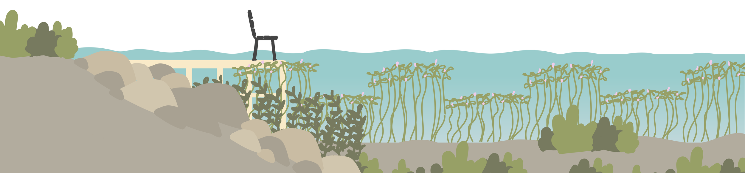
Submerged Aquatic Vegetation
Rooted aquatic plants that grow completely underwater are called submerged aquatic vegetation. Alongside being essential habitat for fish, crabs, and other aquatic organisms, they allow for sediment stabilization and wave energy reduction.
-
![]()
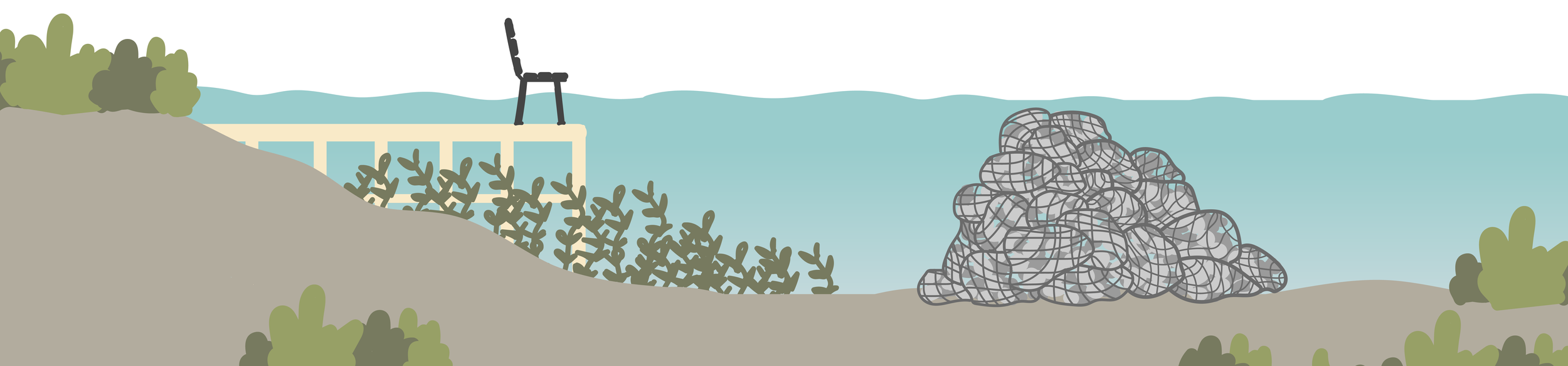
Living Breakwaters
Artificial reefs and breakwaters are offshore structures designed to limit wave energy. Unlike traditional breakwaters, they incorporate natural habitat by providing opportunities for oysters, corals, and other species to settle and colonize.
-
![]()
Artificial Floating Islands
Floating islands are made of planted mats or structures, providing a range of water treatment, habitat creation, and aesthetic benefits. Similarly to breakwaters, they dampen wave energy to reduce erosion.
-
![]()
Barrier Island Restoration
Barrier islands are coastal landforms that are formed as waves repeatedly deposit sediment parallel to the shoreline. A number of the nature-based solutions mentioned in this toolkit can be employed as part of barrier island restoration projects.


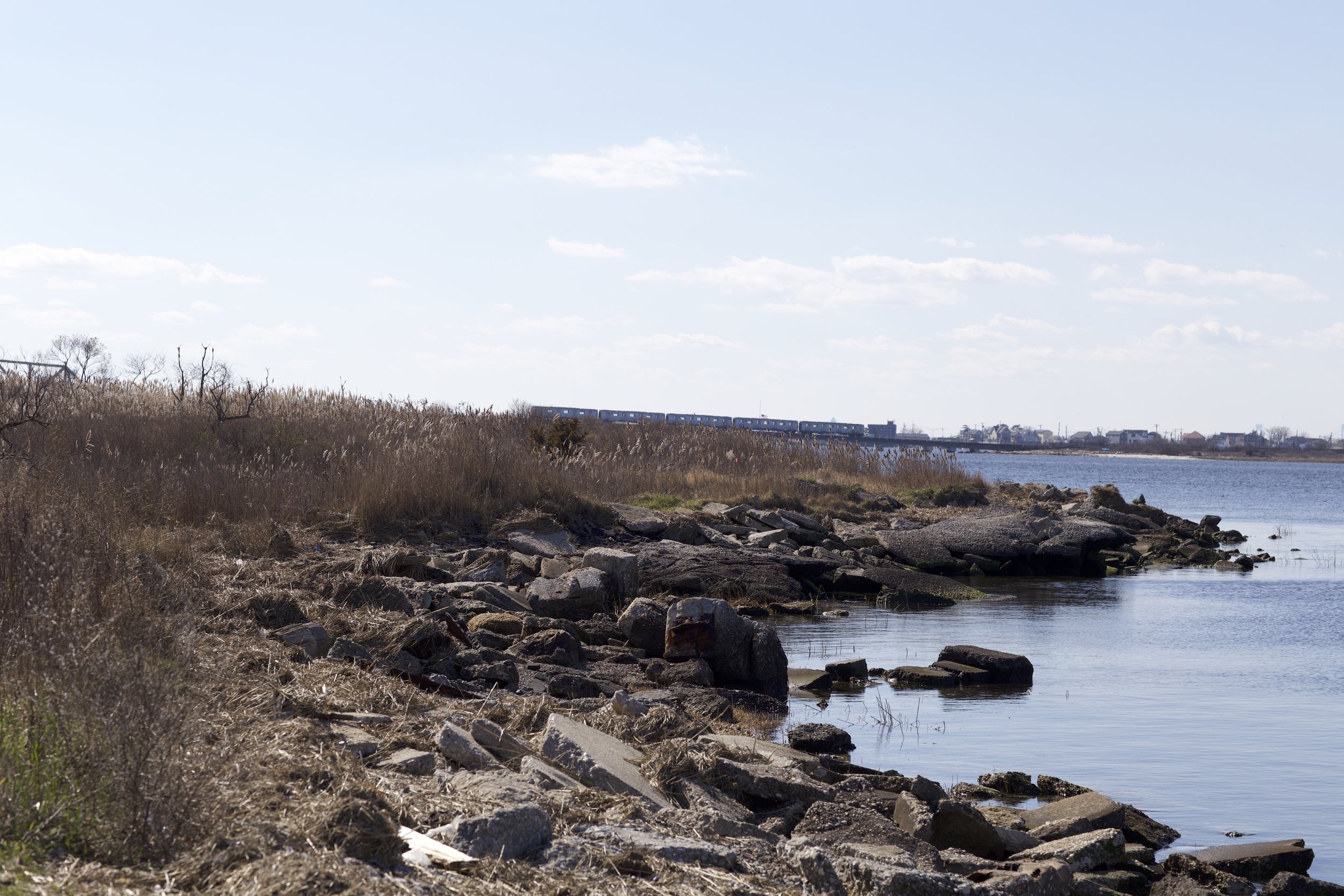
Brant Point
This sanctuary once played host to over 325 species of birds, 50 species of butterflies, and 100 species of finfish. Today, the declining salt marsh and limited rip rap revetment fail to adequately protect the shoreline from erosion and water velocity.


Dubos Point
These 39 acres of salt marsh and wildlife habitat were once filled in with dredged materials for real estate development. Today, the renewed meadowlands help filter water pollution and reduce flood flows/erosion, playing host to a number of species.


This project was created as part of A Capstone With The
New York City Department of City Planning.
Software used include: Python Programming (Jupyter Notebook), InDesign,
Illustrator, and Photoshop.